Maps of the World Home > World Map Collection > Map of Africa Political
Printable Map of Africa Political
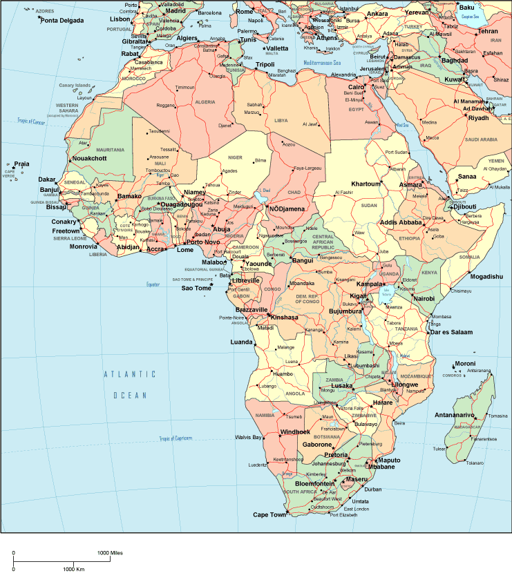
The above map image is a simple representation revealing the spatial layout of this environs with a basic collection of elements.
Of course, you can share this map and work with it for a variety of purposes. Citing this page would be considerate and well thought of.
In the case that you need aid obtaining a map, a particular map, or need a nice custom product, simply contact us.
Buy first-rate personalized maps from us. Custom maps made by YellowMaps contain a wholesome variety of details, for example: trails, legend, coordinate grid, air navigation features, marine navigation features, shoals, craters, or rapids, etc. Types of maps run from historical to tourist, large-print to small-print, global to planning regions.
Nice maps are succinct, clear-cut, and not obsolete. Fine cartography by YellowMaps.
To purchase printed maps or charts, e.g. navigational charts, educational maps, or maps for canoeing, just visit our online map shop We hold over 100,000 items.
We love maps. A grand passion and delight. Show me a good map of the world..., they say.
Back to World map collection