Maps of the World Home > World Map Collection > Map of Political Globe centered on America
Printable Map of Political Globe centered on America
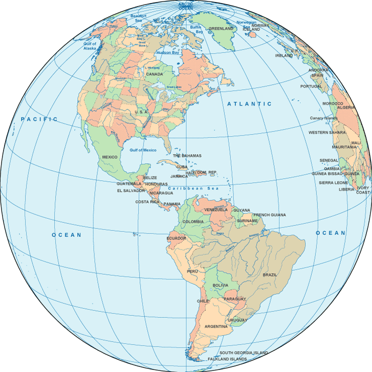
This map image is a classic drawing laying out the geography of this locale with a simple selection of map components.
You are granted permission to share the map and use it in your work. Citing this page would be considerate and well thought of.
On the assumption that you need assistance obtaining a map, a different kind of map, or need a suitable custom-made work, please inquire for details.
Acquire nice custom maps from us. Our custom-made maps cover a sizable collection of map components, for example: highways, scale bar, coordinate grid, campsites, military area, springs, glaciers, or road features, etc. Types of maps reach from urban to satellite, digital to hardcopy, electoral district to urban growth areas.
Suitable maps are correct, up to date, and not misleading. Fine map-making by YellowMaps.
To purchase physical maps, for example navigational charts, tourist maps, or hiking maps, quickly visit our online map shop You can find thousands and thousands items.
Ever wondered why there are so many different maps around? Well, to cover the whole of North America at let's say 1:24,000 scale, you will need more than 100,000 maps. This would be millions of maps if you want to cover the whole earth at that scale. It's a big place!
Back to World map collection