Maps of the World Home > World Map Collection > Map of Australia Political
Printable Map of Australia Political
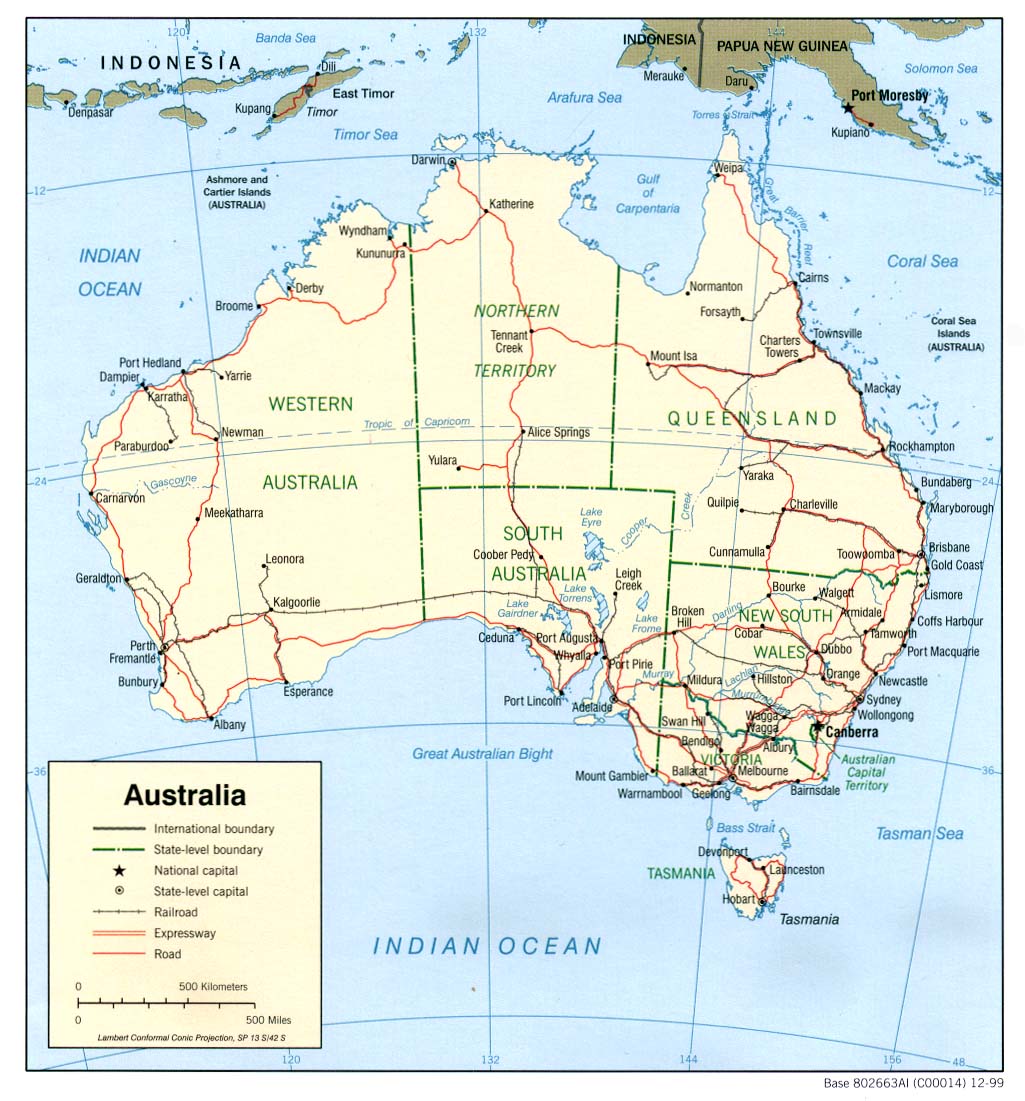
Above is a plain projection showing the geography of this territory with a classic collection of map components.
You can download the map image and use it in your work. Giving credit to this source is always appreciated. Thank you kindly.
Supposing you are hoping for help acquiring a map, a specific map, or are hoping for a proper made-to-your-specs creation, quickly get in touch with us.
Order nice custom maps from us. Cuztomized maps by YellowMaps provide a refreshing selection of map components, for example: avenues, legend, UTM coordinates, district municipalities, lakes, territories, falls, or rapids, etc. Map types range from political to blank, navigation to general reference, county level to economic places.
Proper maps are clear, well-defined, and not old. Fine map design by YellowMaps.
To purchase printed maps or charts, such as navigational charts, country maps, or wilderness maps, please do not hesitate to browse our online map store We carry over 100,000 map items.
Looking for historical maps, or large-format map prints? Ask us.
Back to World map collection